Bangkok Launches PM2.5 Risk Map Across 50 Districts
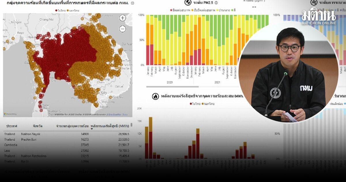
The Bangkok Metropolitan Administration has introduced a new PM2.5 risk mapping initiative covering all 50 districts to improve air quality management.
On October 20, 2026, the Bangkok Metropolitan Administration (BMA) announced the development of a comprehensive PM2.5 risk map covering all 50 districts of the capital. According to reports from Matichon Online, this initiative aims to enhance the city's ability to monitor and respond to air pollution challenges.
The project intends to integrate real-time data to provide more accurate insights into air quality fluctuations. As part of the initial phase, the BMA plans to distribute specific response plans to 25 pilot districts, allowing for localized management of dust and particulate matter levels.
For residents and travelers, this development is significant as it signals a more data-driven approach to managing seasonal air quality issues in Bangkok. Enhanced monitoring may lead to more timely public health advisories during periods of high pollution. However, details regarding the specific public interface for this real-time data and the exact timeline for the full implementation of the response plans across all districts remain to be confirmed. Authorities have not yet specified how this data will be utilized to trigger specific mitigation measures or public warnings, leaving the practical impact on daily activities to be determined as the pilot program progresses.