
Must-See
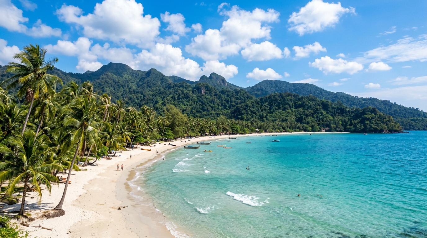
Koh Chang, Thailand's second-largest island, sits in Trat province near the Cambodian border and combines a developed west-coast beach strip with genuine jungle interior and waterfalls. It has more infrastructure than most smaller islands—paved roads, a wider spread of accommodation, some hospital-level care—while still carrying the transport and seasonal trade-offs of island life.
Beach towns differ more than the map suggests
White Sand Beach (Hat Sai Khao) is the busiest and most developed; Lonely Beach and Bang Bao further south are quieter and, in Bang Bao's case, built around a working fishing-pier community. Kai Bae sits between the two in character. Spend time on the actual road you'd use daily—hilly, winding in places—before assuming any one strip suits your routine.
Ferry access and monsoon timing need a plan
Koh Chang is reached by ferry from Trat's mainland piers; there's no airport on the island itself, so factor the mainland flight-plus-ferry combination into any travel plan. The wetter months (roughly May to October) bring rougher seas and reduced services at some smaller operators, and several resorts and restaurants scale back or close for the season—check before committing to an off-peak stay.
Healthcare and family logistics are workable, with limits
Koh Chang has a hospital with more capability than the clinic-only islands nearby, which makes it a more realistic option for families and longer stays, but serious or specialist cases still typically mean transfer to Trat or Bangkok. Confirm insurance coverage and test the school run and rainy-day options if relocating with children.
Before choosing Koh Chang
- Compare the west-coast beach towns by their actual daily walk to shops, food and transport, not just scenery.
- Confirm current ferry schedules and reduced-service periods before booking a wet-season stay.
- Check what the island hospital can treat locally versus what requires a mainland transfer.
- If relocating with children, test the school-run route and confirm term-time service availability.
Sources and review
This original SawaLife planning guide was reviewed on 14 July 2026. The links below are context sources, not endorsements of a personal decision. Service hours, routes, weather, prices and local conditions can change.
Things to See & Visit
Must-See Places & Recommendations in Koh Chang
Explore iconic landmarks, revered temples, pristine natural wonders, and cultural gems curated by SawaLife.
Local weather
Weather in Koh Chang
Local weather
22 °C
Rain showers · Feels like: 25.1 °C
Provider observation: 2026-09-25T03:00 (Asia/Bangkok)
Source: Open-Meteo
View weather sourceModelled AQI
AQI 38
Good · PM2.5: 3.6 µg/m³
Updated by SawaLife: 2026-09-24 20:00:50 UTC
Modelled source: Open-Meteo / CAMS Global
View air-quality sourceThis is a modelled air-quality estimate, not a local sensor measurement or health alert. Follow official local guidance.
City profile
Source-backed city profile
These nine planning signals are separate, reviewed criteria. They do not produce an overall rank or a personal recommendation.
9 of 9 current criteria are available.
How these city signals are produced
SawaLife city context methodology
- Purpose
- Nine independent planning signals describe relative city context. They are never combined into a total, ranking, winner or personal recommendation.
- Scale interpretation
- Each whole-number value uses a 0–100 contextual scale defined for its own criterion. A higher value means a stronger presence of that named context; it is not a percentage, probability, live measurement or guarantee.
- Source policy
- Every published value keeps its identifiable primary source, supporting source bundle, capture date and staff review. Volatile weather and air-quality readings stay separate. Unsupported commercial indexes and inferred values are excluded.
- Version
- city-score-v2
- Effective from
- 2026-07-14
- Staff reviewed
- 2026-07-15